Photo Gallery of our “The Corrugation Way” trip. Click on the photo to view a larger image.
Read about the trip here.
-
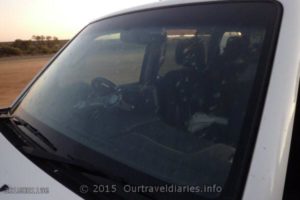
- Bugs on the windscreen – north of Broadarrow
-
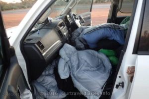
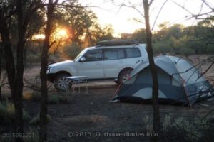
- Sometimes its easier to sleep in the car – north of Broadarrow
-
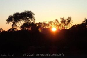
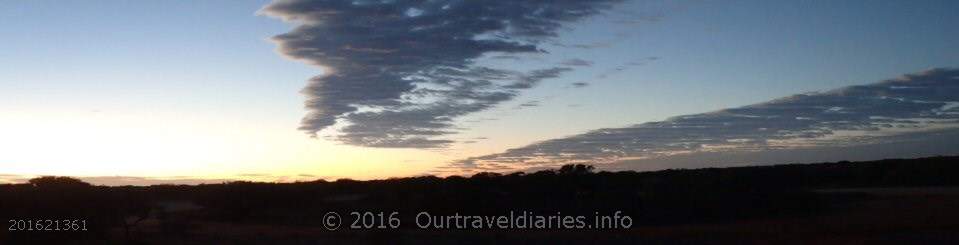
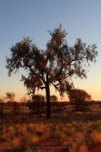
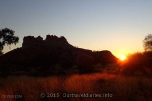
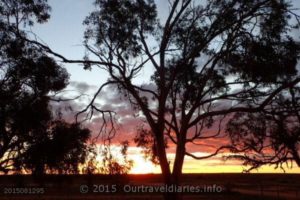
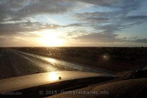
- Sunrise – north of Broadarrow
-
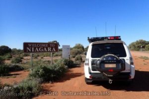
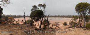
- Heading to Niagara Dam near Kookynie – Western Australia
-
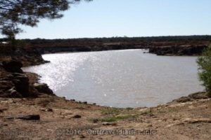
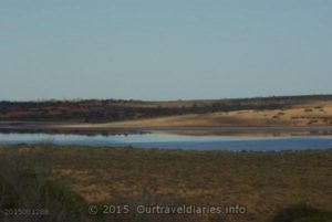
- The waters of Niagara Dam near Kookynie
-
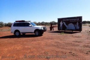
- Welcome to Kookynie – Western Australia
-
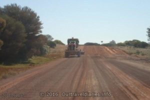
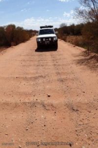
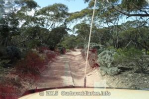
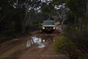
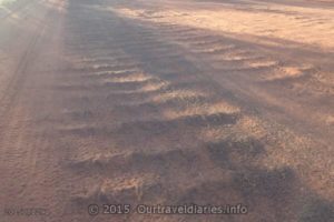
- Grading corrugations – North of Kookynie, Western Australia
-
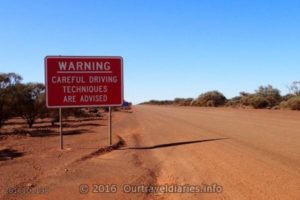
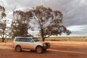
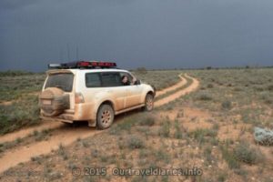
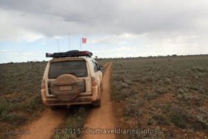
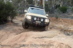
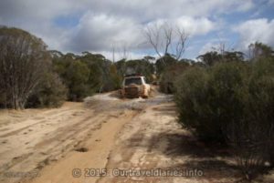
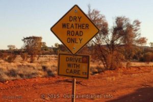
- Driving on gravel roads can be dangerous
-
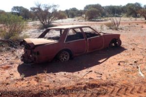
- An old Wreck alongside the Great Central Road – Western Australia
-
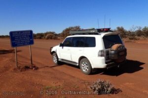
- Petrol is limited along the Great Central Hwy, WA-NT
-
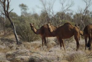
- Camels, the road between Laverton and Docker River is inundated with them
-
- Dawn breaks at The Pines Rest Area, Great Central Hwy, WA
-
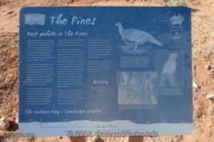
- Information about the Pines Rest Area, Great Central Hwy, WA
-
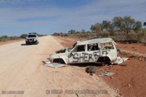
- Another wrecked Car on the side of the Great Central Hwy, WA
-
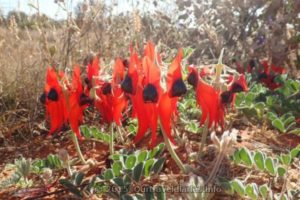
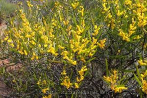
- Marlu Kuru Kuru (Sturt’s Desert Peas)
-
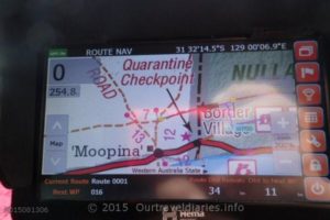
- Schwerin Mural Crescent, Near the WA/NT Border.
-
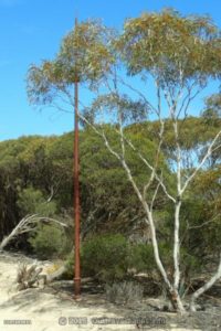
- Len Beadell Ghost Gum Plaque, Near the WA/NT Border.
-
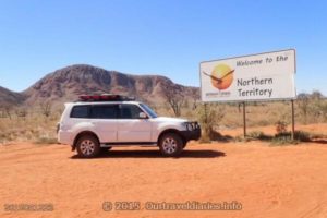
- Crossing the WA/NT Border near Docker River NT.
-
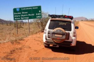
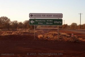
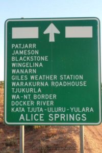
- Signs, Signs everywhere there’s signs. Tjukaruru Road, NT
-
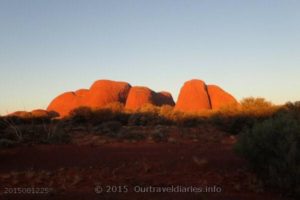
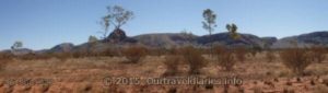
- Kata Tjuta at Sunset, NT
-
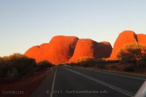
- Heading towards Kata Tjuta at Sunset, NT
-
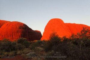
- Kata Tjuta at Sunset, NT
-
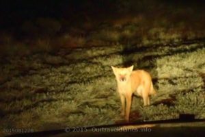
- A curious dingo pup, taken along the Luritja Road, NT
-
- We are going to Warakurna, WA
-
- The Road Ahead, Sign just North of Warburton, Gt Central Hwy, WA
-
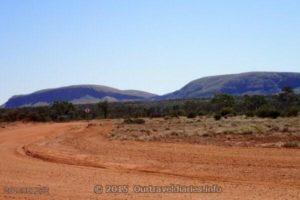
- Rawlinson Range, Warakurna, W.A.
-
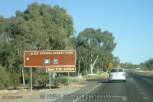
- Family approaching the turn off to the Alice Springs Desert Park
-
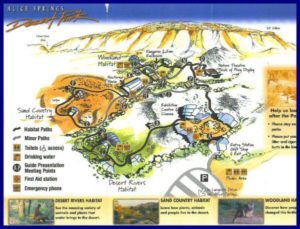
- Alice Springs Desert Park Map
-
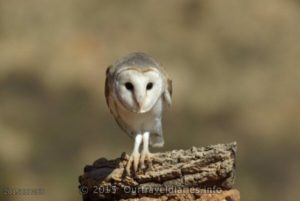
- Australian Barn Owl – Alice Springs Desert Park
-
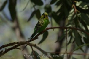
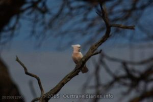
- Budgie – Alice Springs Desert Park
-
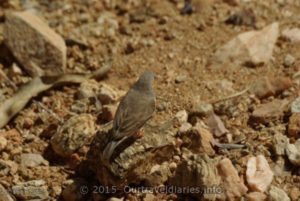
- Small bird – Alice Springs Desert Park
-
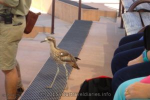
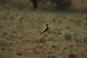
- Bush Stone Curlew (Thicknee) – Alice Springs Desert Park
-
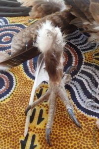
- Large, sharp talons of a Wedge Tailed Eagle – Alice Springs Desert Park
-
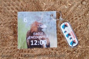
- Our entry card for the Eagle Encounter
-
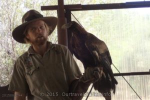
- Park Ranger and an eagle undergoing rehab – Alice Springs Desert Park
-
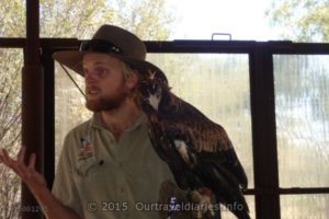
- Park Ranger with an inured young eagle – Alice Springs Desert Park
-
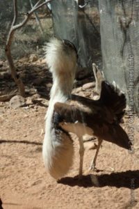
- Kere Artewe (aka Bustard or Bush Turkey) – Alice Springs Desert Park
-
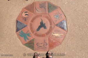
- Parks & Wildlife Commission inlay at the entrance of the Alice Springs Desert Park
-
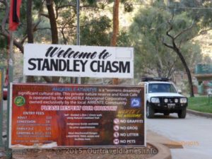
- Entering Standley Chasm Park
-
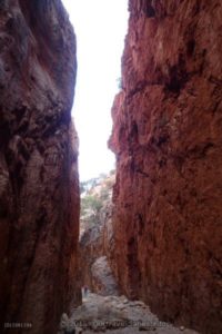
- Standley Chasm, it looks even better at Midday
-
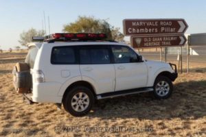
- On the way to Chambers Pillar via the Maryvale Road, NT
-
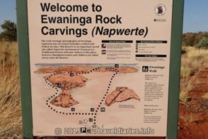
- Napwerte / Ewaninga Rock Carvings Conservation Reserve, NT
-
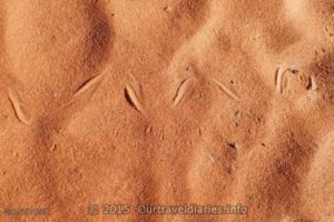
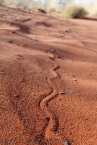
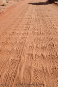
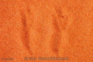
- Tracks in the desert sand
-
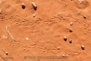
- Reptile tracks in the sand
-
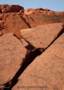
- Napwerte / Ewaninga Rock Carvings Conservation Reserve, NT
-
- 43 kms to Chambers Pillar, NT
-
- Sign at the edge of Chambers Pillar Historical Reserve, NT.
-
- Window Rock, Chambers Pillar Historical Reserve, Northern Territory
-
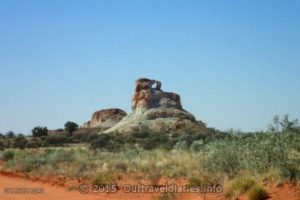
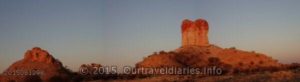
- Castle Rock – Chambers Pillar Historical Reserve, Northern Territory
-
- One of the many faces of Chambers Pillar, Northern Territory
-
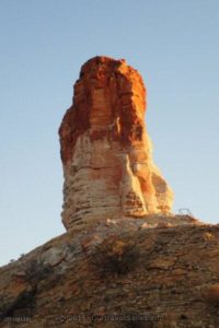
- Ever changing color of Itirkawara (Chambers Pillar), Northern Territory
-
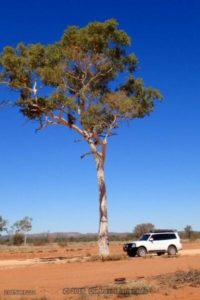
- Desert Oak in the Chambers Pillar Historical Reserve, NT.
-
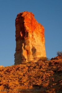
- Sunset approaches Itirkawara (Chambers Pillar), NT
-
- Chambers Pillar as daylight fades, NT
-
- The colors of sunset near Chambers Pillar, NT
-
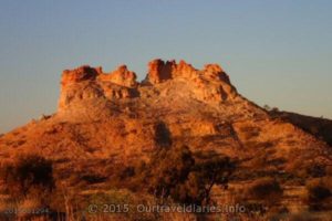
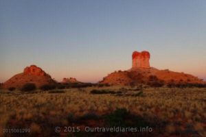
- Castle Rock. Chambers Pillar Nature Reserve, Northern Territory.
-
- More Corrugations near Chambers Pillar, NT
-
- Bird tracks in the sand, Near Chambers Pillars, NT
-
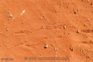
- Marsupial tracks in the sand, Near Chambers Pillars, NT
-
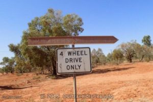
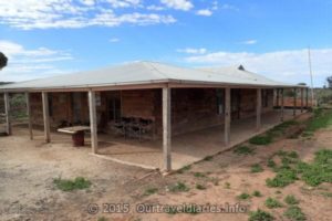
- You can buy fuel at Maryvale Homestead, NT
-
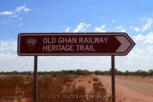
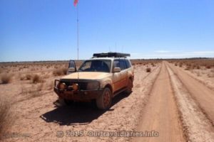
- We followed some of the Old Ghan Railway Heritage Trail
-
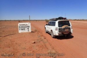
- On the way to Rodinga, Bundooma, Finke
-
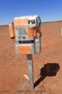
- This appeared to be a working phone in the middle of nowhere, about 10kms North of Maryvale on the Roger Vale drive, NT
-
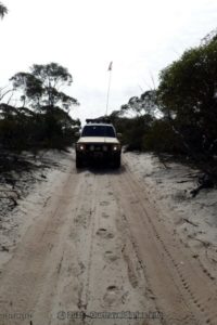
- More corrugations North of Maryvale, NT.
-
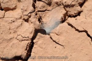
- Tracks in the sand.
-
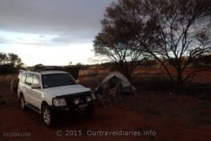
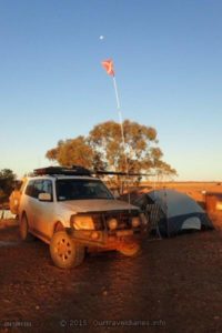
- We camped here while we fixed the broken Warn Winch bracket – between Chambers Pillar and Aputula
-
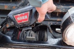
- The broken Warn Winch bracket that ARB had fitted.
-
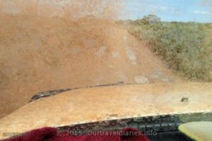
- Bulldust on the Ghan Heritage Road just North of Finke (Aputula) NT.
-
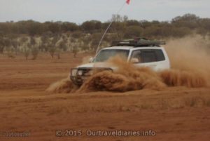
- The finish of the Finke Desert Race, Northern Territory.
-
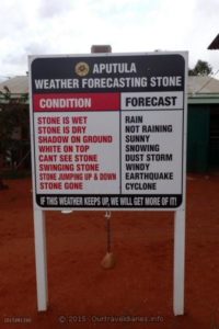
- Weather Forecasting in Aputula (Finke) NT.
-
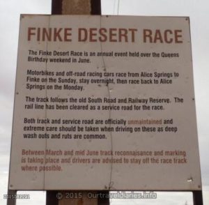
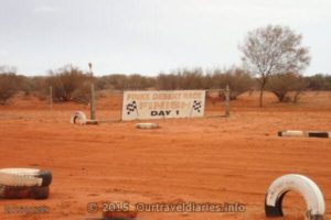
- A bit of information about the Finke Desert Race, Aputula, Northern Territory
-
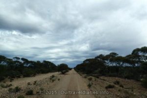
- A section of the road to Aputula (Finke), Northern Territory
-
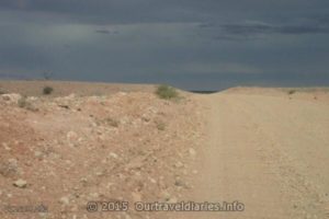
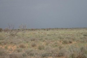
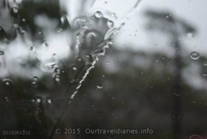
- Its actually raining, we are heading to Mt. Dare / Dalhousie Springs in South Australia.
-
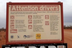
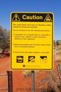
- Some advice when entering the Sand Dunes of the Simpson Desert.
-
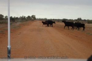
- Caution! cows on the road.
-
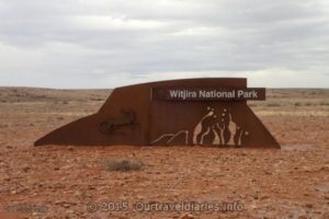
- Entering Witjira National Park, South Australia.
-
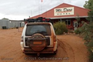
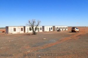
- Mt Dare Hotel, SA
-
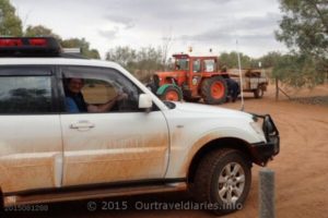
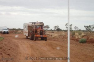
- Just as we were pulling out a tractor towing a camper trailer pulled in – Mt Dare, South Australia
-
- Tractor Club, Just after we left Mount Dare.
-
- Some members of the Tractor Club, Just after we left Mt Dare
-
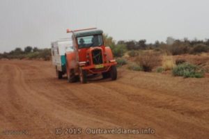
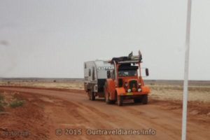
- Another Tractor Club member travelling to Mt Dare
-
- Only few kms remain to Dalhousie Springs, South Australia.
-
- The track go a bit muddy and this made a interesting photo, Dalhousie Springs Camp Ground.
-
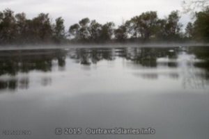
- Reflection time at Dalhousie Springs
-
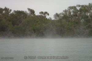
- Rain falling over Dalhousie Springs – beautiful
-
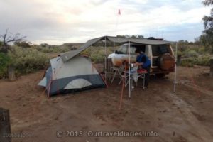
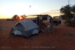
- Dalhousie Springs Camp Ground
-
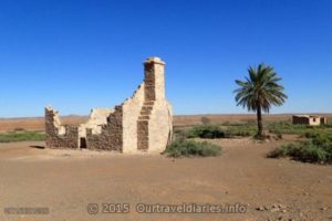
- All that remains of the Dalhousie Homestead, South Australia
-
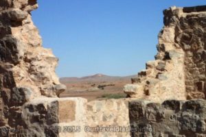
- The Dalhousie Ruins, South Australia.
-
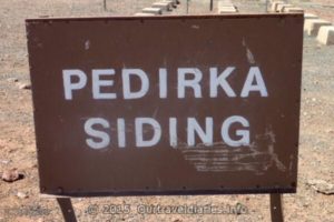
- The original sign had long since faded – Pedirka Siding Ruins on the Old Ghan Railway
-
- Ruins of Pedirka Siding along the Old Ghan Railway line
-
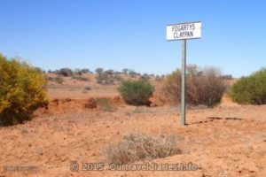
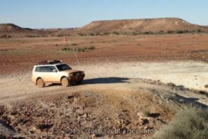
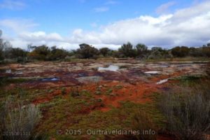
- Fogartys Claypan
-
- Our Pajero stopped at Fogartys Claypan
-
- Spider web in a dry creek bed.
-
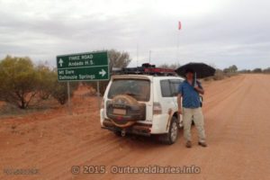
- 10kms North is Mount Dare, but we are heading to Dalhousie Springs in the Simpson Desert.
-
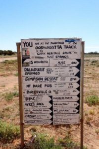
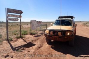
- Some iconic names here.
-
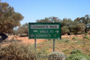
- The Oodnadatta track, South Australia.
-
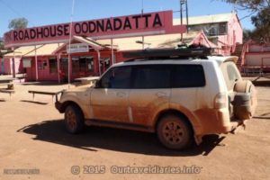
- The famous Pink Roadhouse, Oodnadatta, South Australia.
-
- Along the the Oonadatta Track, South Australia
-
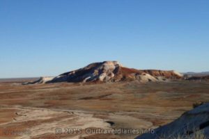
- The colorful Painted Desert , East of Arckaringa Homestead, South Australia
-
- Looking across The Painted Desert , East of Arckaringa Homestead, South Australia
-
- Beautiful! the colors of The Painted Desert , East of Arckaringa Homestead, South Australia
-
- We camped overnight at Arckaringa Homestead, South Australia.
-
- Sunset at Arckaringa Homestead, South Australia.
-
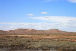
- Hills just North of Coober Pedy South Australia.
-
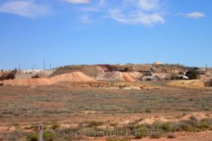
- Opal mines on the outskirts of Coober Pedy South Australia.
-
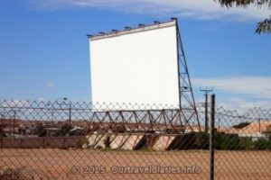
- Drive-in screen leftover from a bygone era, Coober Pedy South Australia.
-
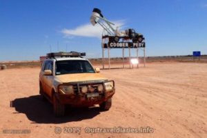
- Coober Pedy South Australia.
-
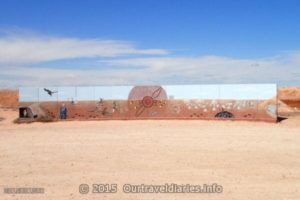
- Mural, Coober Pedy South Australia.
-
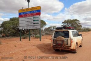
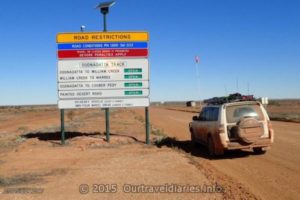
- Sign for road conditions.
-
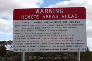
- Good advice, you can die in the outback if you are not prepared.
-
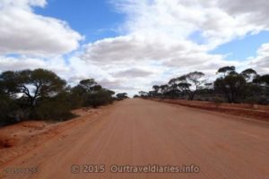
- Road north of Kingoonya, South Australia
-
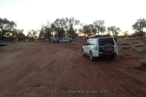
- Campground at Kingoonya, South Australia
-
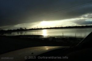
- Sunset at Kingoonya, South Australia
-
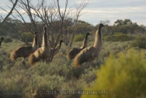
- Emus near Lake Everard, South Australia.
-
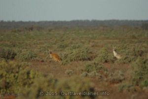
- Two Kangaroos, South of Kingoonya, South Australia
-
- Unnamed salt lake, South Australia.
-
- Banded Lapwing – South Australia.
-
- Major Mitchell – South Australia.
-
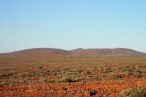
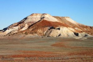
- Stony Top Hill, near Lake Gairdner, South Australia.
-
- near Lake Gairdner, South Australia.
-
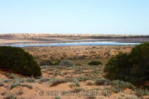
- Lake Everard, South Australia.
-
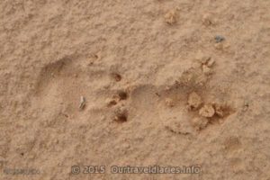
- Footprint of a Wombat near Lake Everard, South Australia
-
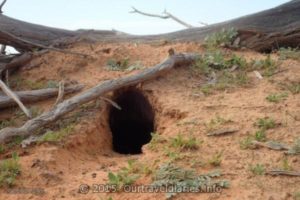
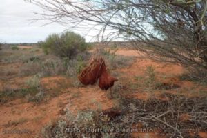
- One of several Wombat burrows we saw near Lake Everard, South Australia
-
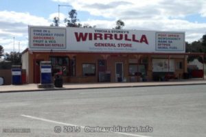
- Wirrulla, South Australia.
-
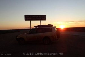
- Eastern end of the Nullarbor Plain, South Australia.
-
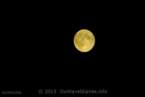
- Full moon, Eyre Hwy, near Mundrabill, WA.
-
- The Old Coach Road north of the old Eyre Hwy, SA
-
- A curious Dingo (yellow dog), along the Old Eyre Highway
-
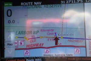
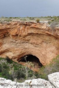
- On the way to Koonalda Cave, South Australia
-
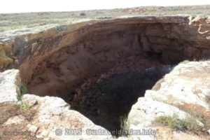
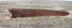
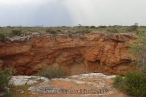
- Looking down Koonalda Cave, WA
-
- Koonalda Cave, South Australia
-
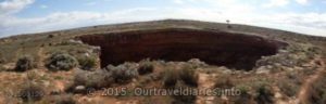
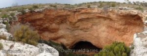
- Panorama view of Koonalda Cave, South Australia
-
- The fence around Koonalda Cave, South Australia
-
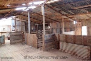
- The disused shearing shed at the Koonalda Homestead, South Australia
-
- Yup we are here at Koonalda, WA
-
- The restored Koonalda Homestead, South Australia
-
- The Old Coach Road, Western Australia.
-
- Storm clouds gathering on the Old Eyre Highway, SA
-
- Storm coming near Warbla Cave North of the Old Eyre Highway, SA
-
- On the track with a Storm coming near Warbla Cave North of the Old Eyre Highway, SA.
-
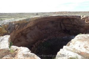
- Warbla Cave, South of the Old Coach Road, South Australia.
-
- Approaching Warbla Cave by foot , South of the Old Coach Road, South Australia
-
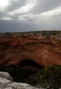
- Looking down into Warbla Cave, South Australia
-
- There’s no fence around Warbla Cave
-
- Old Coach Road, South Australia.
-
- Arrived at the Western Australia/South Australia Boder
-
- Got a bit wet, on the Old Coach Road, Western Australia.
-
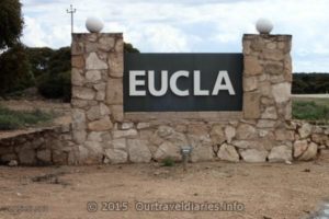
- Weclome to Eucla, Western Australia
-
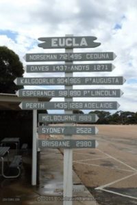
- 1435 kms form Eucla to home.
-
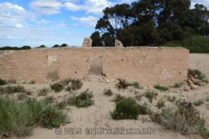
- The old Eucla Telegraph Station near the coast, WA.
-

- Dad Emu looking after his chicks, Eucla, WA.
-
- 24 Hour rest area just of the Eyre Hwy, near Mundrabill, WA.
-
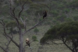
- An older eagle on the higher branch and a juvenile eagle on the lower branch, near the Eyre Hwy, on the Nullarbor Plain, WA
-
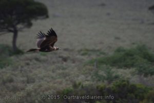
- Wedge tail eagles look majestic in flight
-
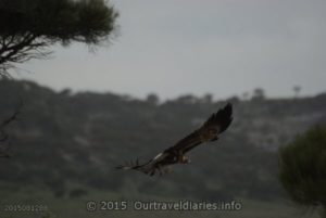
- In flight, a young eagle just off the Eyre Highway east of Madura
-
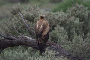
- It seemed like he was posing for us, near the Eyre Hwy, on the Nullarbor Plain, WA
-
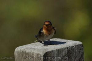
- “Welcome Swallow” at the Eyre Bird Observatory, Great Australian Bight.
-
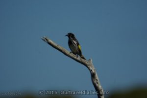
- “New Holland Honeyeater”, near the Eyre Hwy, on the Nullarbor Plain, WA.
-
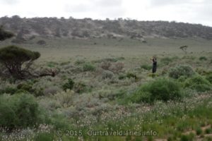
- Photographing an Eagle, Eyre Highway, Western Australia
-
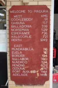
- Welcome to Madura.
-
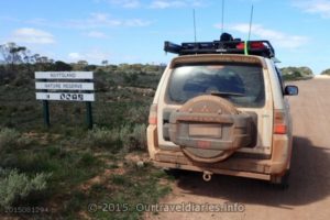
- Entering the Nuytsland Nature Reserve east of Cocklebiddy, WA
-
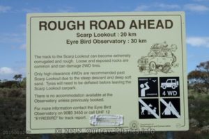
- Warning sign on the way to the Eyre Bird Observatory
-
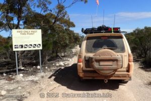
- On the way to the Eyre Bird Observatory
-
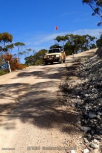
- Its a steep descent from the Nullabor Plain to the Coastal Plain.
-
- Track into the Eyre Bird Observatory
-
- Old Telegraph post on the way To the Eyre Bird Osbservatory
-
- The track To the Eyre Bird Observatory
-
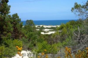
- Kanidal Beach, Southern Ocean
-
- Sunset along the Eyre Highway, Western Australia
-
- Clouds, Eyre Highway, Western Australia
-
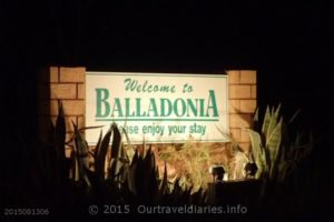
- Balladonia WA at night.
-
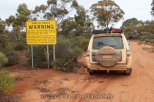
- Warning The Old Hyden Norseman Road in no longer maintained.
-
- Track got a bit rough – Old Hyden Norseman Rd, Western Australia
-
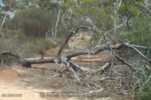
- Another tree we cleared – the Old Hyden-Norseman Road, Western Australia
-
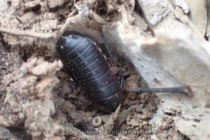
- Bug – Old Hyden Norseman Road, Western Australia
-
- Gnamma Holes – Old Hyden Norseman Road, Western Australia
-
- Had a little bit of hail – Old Hyden Norseman Road, Western Australia
-
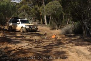
- Another bog hole on Old Hyden Norseman Road, Western Australia
-
- There was a bit of water this time along the Old Hyden Norseman Road, Western Australia
-
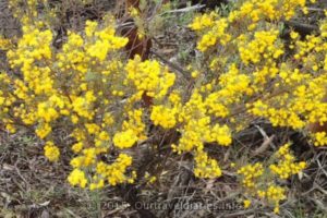
- One of the wildflower bushes in bloom – alongside the Old Hyden Norseman Road, Western Australia
-
- Salt Lake – along side the Old Hyden-Norseman Road, Western Australia
-
- Winching out of the bog – along the Old Hyden Norseman Road, Western Australia
-
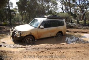
- Bogged – along the Old Hyden-Norseman Rd
-
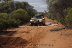
- Another bog hole, we made it through this one – along the Old Hyden-Norseman Rd
-
- A display of early blooming wildflowers alongside the Old Hyden Norseman Road, WA
-
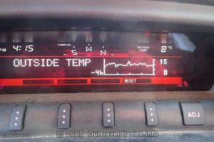
- The temperature dropped when we got west of Hyden WA
-
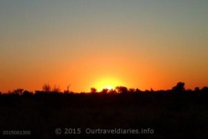
- As the sun sets slowly in the west….
-
- 24 Hour Rest Area, off Luritja Road, N.T.
-
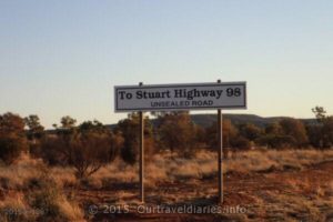
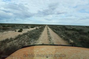
- A bit more gravel to go before we reach the Stuart Hwy
-
- If it rains a lot of outback Roads become impassable.
-
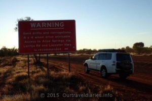
- At the Western End of Ernest Giles Road they recommend you don’t take it
-
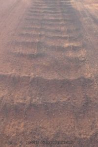
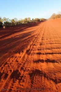
- Corrugations on the Ernest Giles Road Northern Territory
-
- Corrugations on the Ernest Giles Road N.T.
-
- And some more corrugations on the Ernest Giles Road N.T.
-
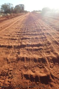
- Never ending corrugations on the Ernest Giles Road N.T.
-
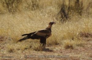
- A young Wedge Tailed Eagle about 20kms south of Alice Springs
-
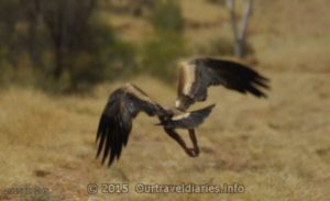
- Lift off – A young Wedge Tailed Eagle takes flight about 20kms south of Alice Springs
-
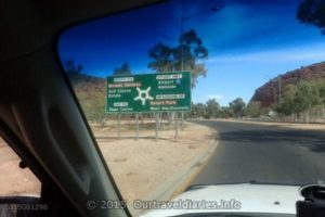
- Roundabout on Stuart Hwy, with The Gap in background, Alice Springs, N.T.
-
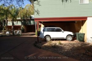
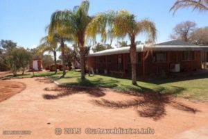
- Our Pajero outside our room at the Alice On Todd Apartments, Alice Springs, N.T.
-
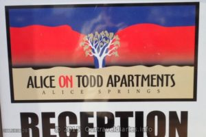
- We stayed at the Alice On Todd Apartments, Alice Springs, N.T.
-
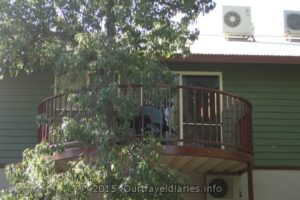
- Balcony of our room at the Alice On Todd Apartments, Alice Springs, N.T.
-
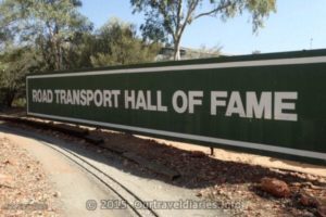
- Entry sign to the Road Transport Hall of Fame, Alice Springs, NT
-
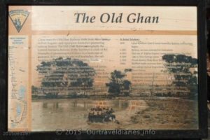
- The Old Ghan plaque at the museum.
-
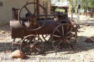
- Old steam engine at the Transport Museum, Alice Springs, NT.
-
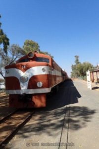
- Diesel Train Locomotive at the Ghan Museum, Alice Springs, NT
-
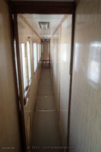
- Inside a train carriage at the Ghan Museum, Alice Springs, NT
-
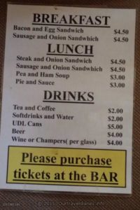
- An old Menu used on the Ghan Railway at the Ghan Museum, Alice Springs, NT
-
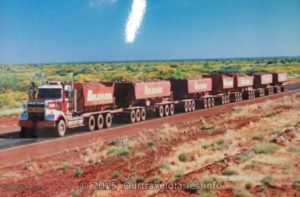
- Photo of a Photo taken at the Transport Museum, Alice Springs, NT
-
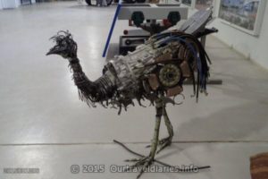
- Emu made from Motor Parts at the Transport Museum, Alice Springs, NT
Views: 538