Day 1: Bruce Rock to Niagara Dam.
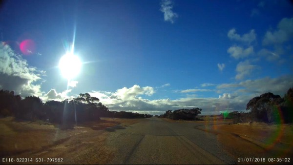
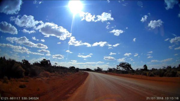
This video compilation covers Day One of our July 2018 trip which we have called “Our Hanns Track Adventure”. The video starts near Wogarl Muntadgin Road 40 kms East of Bruce Rock and continues East along Cramphorne Road. After turning North at Moorine South Road we finally joined Great Eastern Hwy at Moorine.
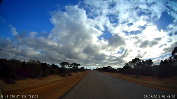
Turning east at Great Eastern Hwy we headed toward Coolgardie, then skirted around Kalgoorlie, going through Boulder and picking up Yarri Road.
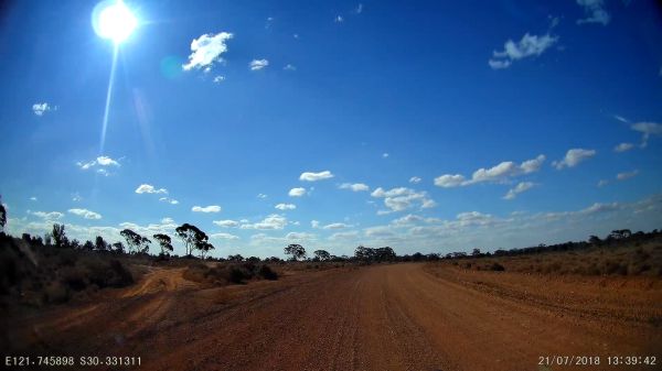
Heading North East along Yarri Road we reached Gindalbie at which point we turned North along Donkey Rocks Road (more like a donkey track). The tracks in this area can be a bit confusing and as such we made a navigation error near Marsh Dam taking a track that deviated from Donkey Rocks Road and headed more North West towards the Carr Boyd Mine. This track was in reasonable condition so we decide to continue along it with the motto “One track is as good another”.
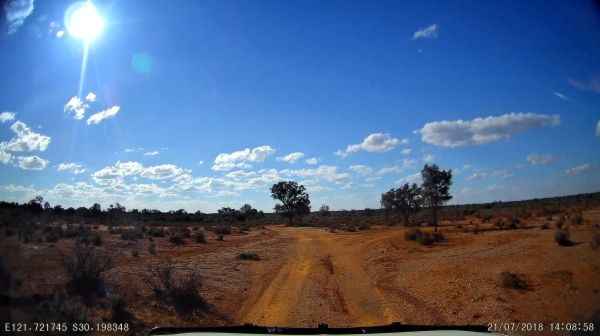
As we neared Carr Boyd Mine (which I believe to be abandoned) we came across a track that headed North East and back towards Donkey Rocks Road so we headed down. This track proved to have seen very little traffic for some time and was heavily overgrown. We pushed on and added a few more deep scratches to the Pajero, but no worries this is what we do and why we brought the Pajero. “To go where very few have gone before”. By the time we had rejoined Donkey Rocks Road we had only travelled 6.2kms in the last 40mins.
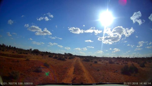
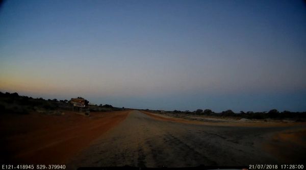
Heading North we passed through Goongarrie National Park, not that we would have known without the Hema GPS showing us our position. By now it was getting late in the day and the sun was low in the West. The setting sun proved to be a challenge as looking straight into the sun made the track very hard to see and at points we had to slow down to a crawl.
After crossing the Kalgoorlie Lenora rail line and turning onto the Kookynie Road we didn’t have far to go before stopping and camping for the night at Niagara Dam. One right hand turn and a few more kilometers saw us arriving at Niagara Dam almost at sun down. That’s it, finished driving for the day. Half hour or so to setup the tent, make tea and we’re done for today and looking forward to tomorrow.
We had traveled 638kms in just over 10 Hours with a average speed 62 kph.
The images below are the actual view at the way points and show what you would see if you were physically at those way points. They can also be viewed by clicking on the google map above.
-
- Crossroads at Garbin Road
-
- Mckenzie Road heading North.
-
- T Junction at Moorine South Rd and Gt Eastern Hwy
-
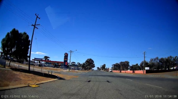
- Need to fill up the tank at Caltex, Coolgardie, WA
-
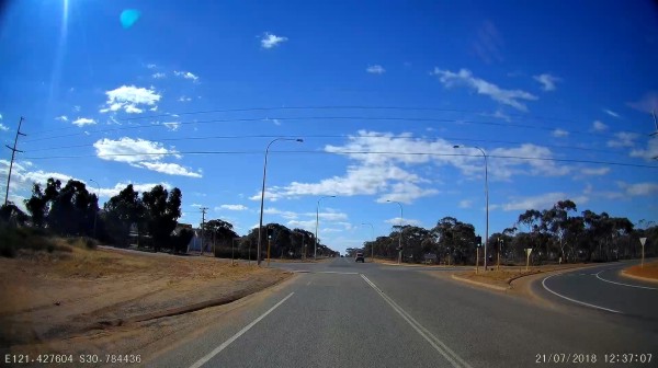
- About to turn onto Anzac Drive on the Southern outskirts of Kalgoorlie.
-
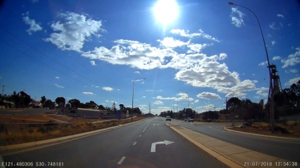
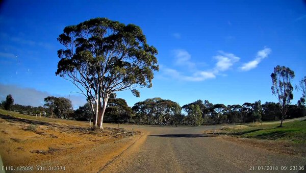
- About to turn onto Yarri Road on the Northern outskirts of Kalgoorlie.
-
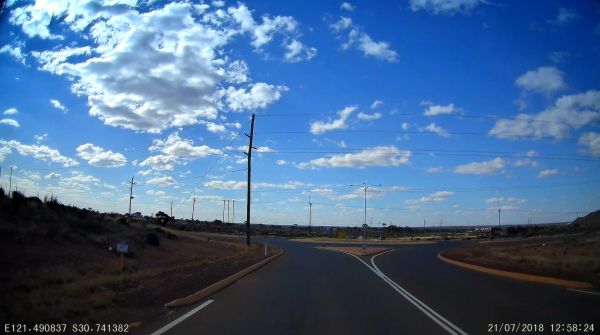
- Yarri Road on the Northern outskirts of Kalgoorlie.
-
- Still on Yarri Rd, North East of Kalgoorlie
-
- About to turn off Yarri Road onto Donkey Rocks Road.
-
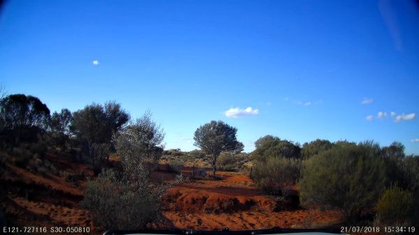
- Near Whitehead Dam on Donkey Rocks Road.
-
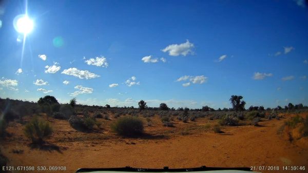
- Still on Donkey Rocks Road just north of Marsh Dam, Western Australia.
-
- Looks like a good track, but a surprise in coming.
-
- Got back to Donkey Rocks Road
-
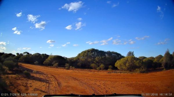
- Donkey Rocks Road about to turn North West.
-
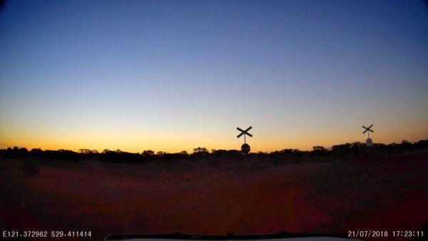
- Kalgoorlie Leonora Railway Crossing just south of Kookynie Road.
-
- Turning from Kookynie Road onto Niagara Dam Road.
-
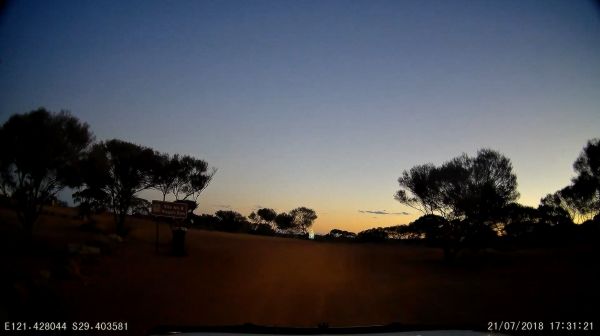
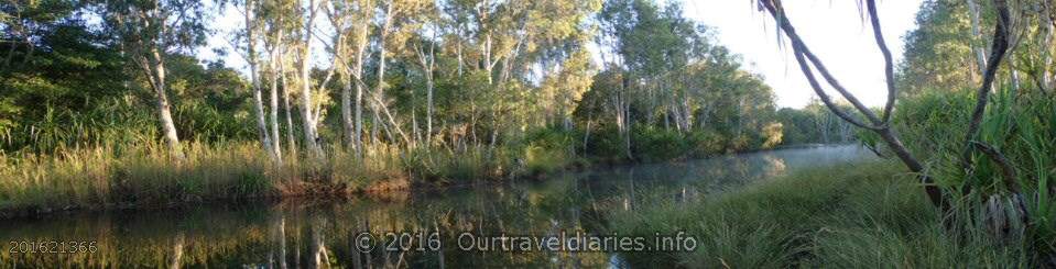
- Sun set at Niagara Dam
Views: 3626